G E O P H Y S I C A L A T L A S
Geophysical Atlases
Regional studies based on integrated seismic, gravity and magnetic (SGM) interpretation. The geophysical atlases are mainly focused on reducing exploration risks prior to licensing rounds in frontier areas of the continental shelves offshore Norway and Greenland. We have extensive experience in geological and geophysical interpretation of the NE Atlantic conjugate margins, including the Møre and Vøring basins, the Barents Sea, and the continental margins of West and East Greenland.
Barents Sea Basins
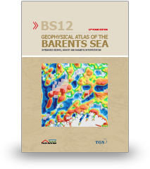
22nd licensing round edition. Geophysical atlas, basin modeling, and case-studies with focus on the Norwegian Barents Sea.
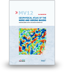
22nd licensing round edition. Focus on sub-basalt prospectivity and basin modeling of the outer Vøring and Møre basins.
Møre and Vøring Basins
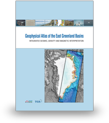
First licensing round edition. Structure, development, and petroleum potential of the northeast Greenland shelf.
East Greenland Basins
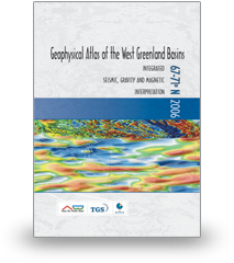
2006 and 2004 licensing round editions. Structure, development, and petroleum potential of the Disko West and Ungava/Fylla areas.
West Greenland Basins
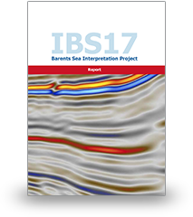
P-Cable | Barents Sea Interpretation Report
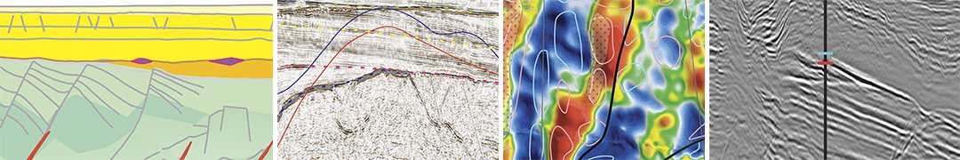
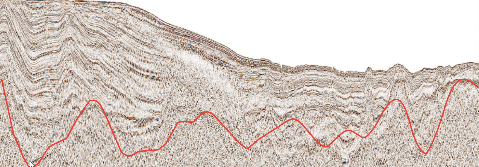
Multi-disciplinary study of the Hoop and Bjarmeland Platform areas aimed at improving exploration success in high-graded 24th round blocks.