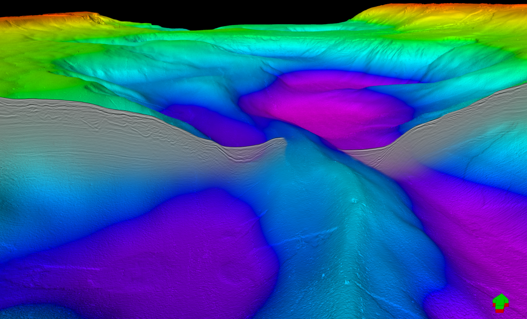
U H R 3 D
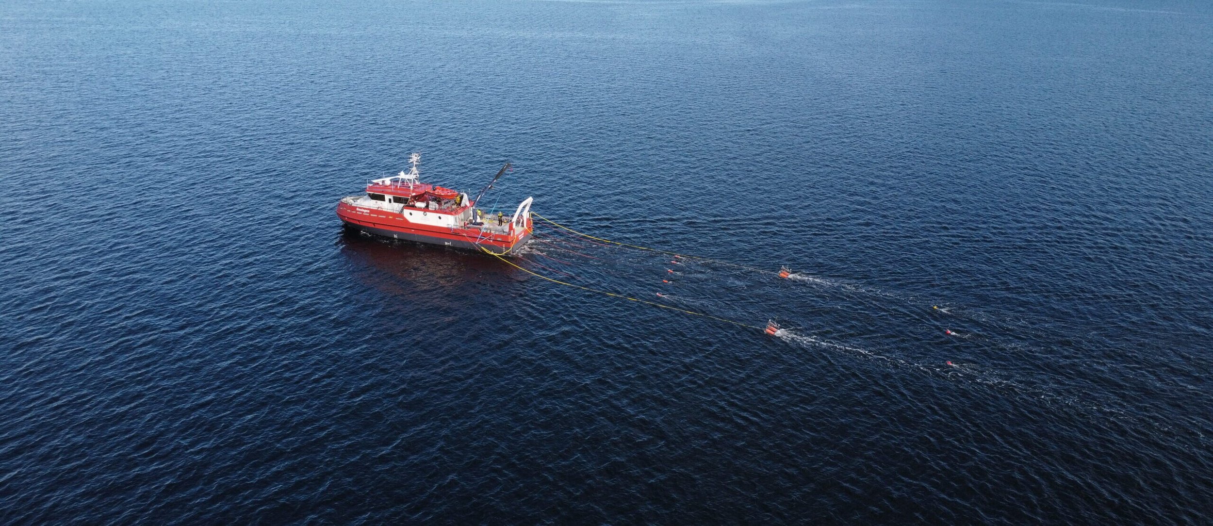
Ultra high-resolution (UHR) seismic data provides detailed imaging of the shallow subsurface, enabling precise mapping of geological structures and seabed conditions. We plan and carry out seismic surveys, and deliver processed and interpreted data tailored to the needs of each project.
The service is used in applications such as offshore wind, carbon capture and storage, mineral exploration and infrastructure development. High data resolution supports better decision-making and helps reduce uncertainty and risk in early project phases. See Fjorgyn page or contact us for more information.